
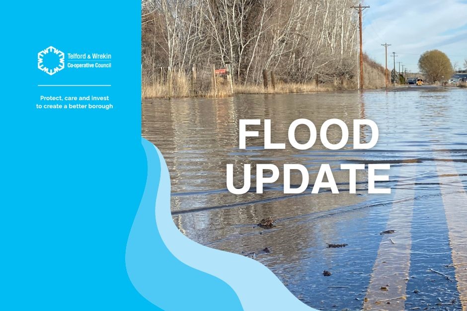
Flood Update - Wednesday 3 January 2024
Update: 15:45pm
Ironbridge
The Environment Agency are now predicting a peak of between 5.9-6.2m tomorrow morning. With the rain still falling, this could change, so we will keep you up to date.
The flood barriers are up and traffic lights, road signs and flood pumps are running at Dale End.
We are calling residents in the area to ensure they are safe and prepared.
Current road closures are:
- The Lloyds
- Ferry Rd (near The Boat)
- The Wharfage
- Coalford Jackfield
- Jiggers Bank (existing closure – not flood related)
- Dale End Car Park
Roads reopened:
- Buildwas Rd (likely to be closed later today)
Businesses remain open in The Gorge as usual. Please use Ironbridge Central Car Park.
Across the borough
The saturated ground and additional rain continues to cause lots of surface water and flooding across the borough.
Our team is out across the area, responding to your reports of flooding and to try to keep the borough moving.
All of our A-roads are currently clear and we are now tackling the smaller roads to keep as many open as possible.
Please stay safe and don’t drive through the flood water.
Current road closures are:
- Bluebell Lane under railway bridge (Alscott)
- Wappenshall Lane
- Heath Lane (Ellerdine)
- Red House railway Bridge
Roads reopened:
- B5062 Cherrington Crossroads (Cherrington)
Check the latest updates from the Environment Agency: Check for flooding in Telford - GOV.UK (check-for-flooding.service.gov.uk)
Please keep reporting any flooding in your area via the MyTelford App and our teams will deal with the issue as soon as they are able to.
